The mist drops and the path disappears. You have a bearing, a map, and a fair idea of where you set off from — but the feature you are aiming for is somewhere ahead in the grey, and there is no way to see it. What you need is distance travelled. Counting paces and timing your legs will give you that, and neither needs a battery. Used together, they are more dependable than either one alone.
This is not a technique reserved for mountaineering exams. It is the everyday business of walking on featureless ground: a moor in cloud, a forest at night, a snowfield where every rise looks the same. The map tells you where you want to be. Pace and time tell you how far you have come, and whether the next bend is the one you are looking for.
In navigation, a pace normally means two steps — counted each time the same foot lands. Counting double steps halves the numbers and makes the tally far easier to hold in your head while you are also watching your footing and thinking about the map. If you count every single step, you will be muttering numbers in the hundreds before you have crossed a single field.
The arithmetic is simple enough. A typical adult stride is around 75 cm, so a double pace is roughly 1.5 m. That works out at about 66 paces per 100 m, or somewhere near 1,000 paces per kilometre on flat, easy ground. Useful figures to start from — and not much use as they stand. Your legs are not average, and the number changes the moment the ground tilts or softens. The figure that matters is the one you measure for yourself.
Twenty minutes on a quiet path will give you a number you can trust for years.
Write them on the back of your map or in a small notebook. Many walkers add several paces per 100 m going uphill and take a few off coming down, but the differences vary so much between people — and with steepness — that only your own measurements are worth carrying. A typical set might read: 62 paces per 100 m on the flat, 70 uphill, 58 downhill. If you are walking with a heavier pack or through deep mud, add a few more.
It also helps to calibrate over a longer distance. Count your paces over a measured kilometre on flat ground and see how the number compares with ten times your 100 m figure. Small errors in your 100 m count add up over a long leg, and the longer calibration shows you what your real average looks like.
Counting to 900 while walking over tussocks is not realistic. Move the counting out of your head and into something you can touch:
Two habits matter more than the method. First, always start counting from a point you can identify with certainty — a path junction, a bridge, a grid line crossing. Second, when you stop to check the map, pause the count and restart from the last known point rather than trying to add on a guess. If you forget the count entirely, do not pretend you know it. Stop, fix your position from the map and the ground, and begin again.
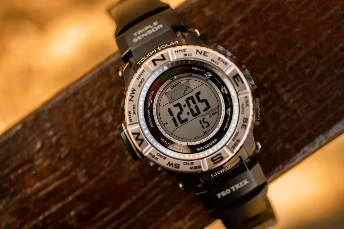
Timing is the second opinion. It is less precise over short distances, but it does not drift or forget.
The standard rule of thumb for hillwalking is Naismith's rule: allow one hour for every 5 km of horizontal distance on the flat, plus one hour for every 300 m of ascent. Treat it as a starting point, not a law. Break each leg down separately — measure the distance along the path on the map, count the contours you cross for the climb, then do the arithmetic for that leg alone.
For example, a leg of 3 km with 200 m of ascent gives roughly 36 minutes for distance and 40 minutes for height, so about 1 hour 16 minutes of moving time. Add breaks, photographs, and the inevitable faff at a stile, and you have a realistic estimate for the leg.
Add time for anything that makes the going harder: deep heather, bog, loose scree, boulder fields, fresh snow, dense woodland, a headwind, or navigating by headtorch. There is no reliable multiplier for these — the honest approach is to time yourself on similar ground and use your own figures. A large party moving through a stile takes longer than a solo walker; a steep descent on wet rock can be slower than the climb. Record your actual times in a notebook and your estimates will improve season by season.
Pace and time work best as a pair. Pace counting tells you how far you have travelled over the ground, which is exactly what you need when visibility is poor and the map is your only reference. Timing tells you whether that distance is plausible. If your pace count says you have walked 800 m, but you have been going for 40 minutes on flat ground at your normal speed, something is wrong — either you have lost count or you are not where you think you are.
A simple cross-check uses your speed. If you walk at about 4 km/h on the flat, you cover 100 m every 90 seconds. So a pace count of 62 per 100 m and a watch reading of 90 seconds should roughly agree. On a climb, both the pace count and the time per 100 m will rise together. When they disagree, stop and sort it out before you carry the error forward.
Suppose you leave a footbridge and aim for a col 1.5 km away with 250 m of ascent. Your flat pace count is 62 double paces per 100 m, and uphill it is 70. Naismith gives about 18 minutes for distance and 50 minutes for height, so roughly 68 minutes of moving time.
You walk for 25 minutes and count 900 paces. On flat ground that would be about 1.45 km, but you have been climbing, so your pace count is higher and the real distance is less. You check the map: a stream junction should appear on your left after about 1 km. It does, ten minutes later. The pace count, the time, and the map have all agreed. You continue uphill, counting 70 paces per 100 m, and reach the
Photo: huldovolk / Pixabay