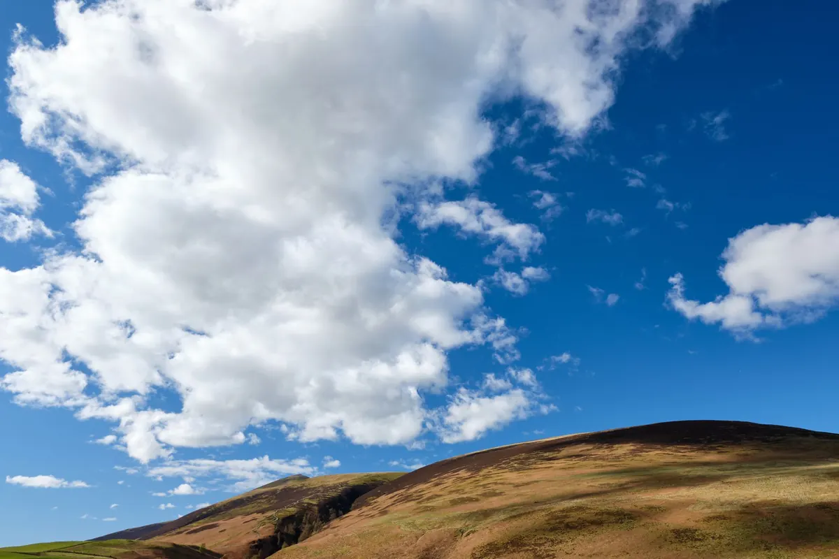
The Lake District changes its mind quickly. You can leave Seathwaite in warm sunshine, cross a shoulder of Base Brown, and twenty minutes later be inside a wet grey cloud with the wind shoving you sideways and the path nowhere in sight. That is not bad luck; it is ordinary Lakeland weather. The fells stand close to the coast, the cloud base often sits below the summits, and the wind arrives with very little warning.
Navigating well on days like that is rarely about heroic compass work. It is about small, repeated habits: knowing where you are before the view disappears, deciding what each leg of the route looks like on paper, and being willing to change the plan. Here is how to build those habits into a normal day on the fells.
Most of our weather arrives from the west, off the Irish Sea. Air forced up over the fells cools and condenses, which is why Borrowdale, Wasdale and Ennerdale can be soaked while the eastern side of the national park is merely grey. Three practical consequences follow.
Ten minutes at the car park or the kitchen table saves hours on the hill. Check the mountain forecast the night before and again in the morning; cloud base, wind speed and the timing of any change matter more than the temperature. Then run through a short routine.
The trick is to start navigating before you have to. Plenty of people keep walking on a half-remembered path until the path vanishes, then try to work out where they went wrong. Take a bearing while you can still see the next cairn, the col, or the wall corner.
At each cairn or junction, look at the map, decide the next leg, take the bearing and write it down if the weather is rough. Note the distance too. On rough Lakeland ground, allow around 3 km/h on paths and considerably less on tussocky, wet or rocky ground, plus roughly an extra hour for every 300 m of ascent across the day. That estimate is deliberately generous; it is meant to be.
Count your own double paces over a measured 100 m on flat ground, then use that number to judge distance in poor visibility. Adjust it for uphill, downhill and boggy ground. A watch and a rough speed are usually enough on a recognised path; pace counting earns its keep on featureless ground where the path has disappeared.
A handrail is anything you can follow — a wall, a stream, a fence line, the edge of a crag — even if it is not on your bearing. A catching feature is something beyond your target that stops you going too far, such as a tarn, a road or a sudden steep drop. Walking on a bearing with a handrail beside you and a catching feature ahead turns a guess into a plan. Read the contours as well: if the ground starts falling gently to your left when the map says it should fall to your right, stop and re-check before you commit to another hundred metres.
Wind pushes you off a bearing without you noticing, especially on open ground. Aim slightly into the wind, then confirm your position with a feature rather than trusting the last ten minutes of walking. Take bearings behind a boulder or in the lee of a wall; fingers stop working quickly in a cold wind, and a compass held in a shaking hand is worse than useless.
Keep the map in a case with the route section folded outwards, and put the compass on a cord around your neck so it cannot be dropped. A watch with an altimeter, or a GPS altimeter, is genuinely useful in cloud: if you know your next turn is at 640 m, the height reading tells you it is coming before the ground does. Keep the group within sight of each other, walk at the pace of the slowest person, and remember that a bothy bag or group shelter is a navigation tool — it lets you stop, think and read the map properly instead of guessing in the rain.
On a forecast of low cloud and strong wind, think about what the terrain does for you. A valley path with a river beside it is far more forgiving than a featureless plateau, and a straightforward ridge with a wall along it is easier than a broad moorland top. Low-level days in Buttermere, Borrowdale, Great Langdale or along the coffin route between Grasmere and Rydal are not a consolation prize; they are good walking, and they keep your navigation sharp without putting you in a white-out.
If you do go high, pick a route with obvious escape options and agree them with the group in advance.
Turning round at a col with a clear reason is a good day out. Pressing on because the summit is close is how a pleasant walk becomes a long, dark one.
Know your position at every obvious feature. Decide each leg before the view goes. Take a bearing, note the distance, and check the ground against the map as you go. Keep the map and compass dry, dig out the shelter before someone gets cold, and set a time for the turn-around before you start. Do those four things and changeable Lakeland weather stops being a threat and becomes part of the day.
Photo: Rodion Kutsaiev / Pexels