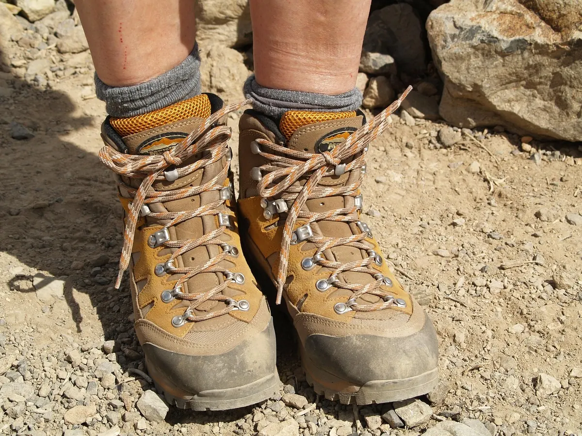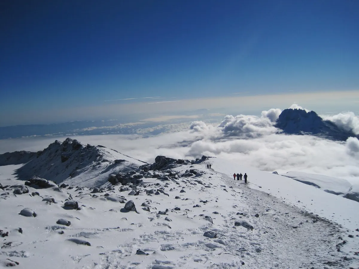
There's a moment on plenty of hill days when the path forks, the cloud drops and everyone stares at their boots. Usually the cause is something small: a map folded so the useful corner is hidden, a bearing taken from the wrong side of a wall, twenty minutes lost to an optimistic pace. None of it feels like a mistake at the time.
That's what makes these errors so common. They creep in through habit, tired legs and the quiet assumption that someone else in the group is keeping track. The fixes are just as modest, and most take less time than the detours they prevent.
The classic is the mid-storm refold. You stop on an exposed ridge, the wind gets under the paper, and within ten seconds you're holding two separate halves of a Landranger. Folding in the rain is also how bearings get taken from the wrong grid square.
Do the folding before you leave the car park. Lay the map flat, trace the day's route, and fold it so the whole walk sits on one panel with a little overlap on each side. On a 1:50,000 sheet that's usually two or three panels; on an Explorer, allow four. A clear map case keeps it usable in weather and lets you mark it with a soft pencil.
Then keep it out. A map that lives in the rucksack lid is one you consult twice a day, and both times are too late. Carry it in a pocket or on a lanyard so you can reach it without stopping.
Thumbing is the cheapest technique there is. Keep your thumb on your current position and move it on as you walk. When your thumb stops but your feet don't, you've missed something. It also turns "where am I?" into a one-second question instead of a minute of searching.
1:25,000 shows walls, small paths, forest rides and stream junctions — the detail that tells you which of two similar paths you're on. 1:50,000 covers more ground and is often enough on open moor, but on intricate terrain it hides the very features you need. Carry the one that suits the day, and be sure which is in your hand.
Parallel errors are the classic trap. Two paths run either side of a wall. Two streams run down adjacent valleys. Two forest rides look identical in mist. You follow the one that fits a half-remembered description and only realise at a junction that shouldn't exist.
The cure is to work out, before you set off on a leg, which features you should meet and in what order — then tick them off. If the second stile arrives before the stream crossing, something is wrong. Say it out loud to your partner, or write it on the map margin. A short list of expected features turns a vague sense of "this feels right" into a series of checkpoints.
A handrail is any linear feature — a wall, stream, fence, forest edge — that you can follow to keep yourself honest. A catching feature is something large enough to stop you if you overshoot: a river, a road, a steep drop. Together they form a safety net for the leg. If you're walking on a bearing across open moor, aim not just for a tiny cairn but for the wall behind it. If you miss the cairn, the wall catches you and tells you which way to turn.
One stile, one stream bend, one boulder can all look convincing. Navigators who rarely get lost tend to confirm with two or three independent things: a compass bearing, a contour shape, a distance estimate, a wall junction. If only one clue fits, keep looking. In mist, a single feature is a guess; a combination is a fix.
Most compass errors happen before the compass is even out. The common ones are magnetic variation ignored, the wrong north, and a bearing taken while the map is folded to a different panel. In the UK, magnetic variation is small but not zero — it's currently a few degrees west in most areas, and on a long leg in poor visibility that can matter. More often, the problem is simpler: taking a bearing from the map but then walking it with the compass held at chest height and turned by the wind.
Take the bearing carefully, set it on the compass, then hold the compass flat and steady. Look up, pick a distant object on that line, walk to it, and repeat. If there's nothing to aim at, use a pacing count or a timer on a known pace. And always check the back bearing when you reach a checkpoint. A 5-degree error over a kilometre is nearly 100 metres off — enough to put you on the wrong side of a stream.
Naismith's rule is a rough guide: allow one hour for every 5 km, plus one minute for every 10 metres of ascent. Most people on UK hills are slower than they think, especially on rough ground, in wind, or with a heavy pack. If your planned leg is 2 km with 300 metres of climb, don't expect 30 minutes. Expect closer to an hour, and then add a buffer. Timing is navigation: if you know how long a leg should take, you know when you've gone wrong.
In a group, it's easy for everyone to assume someone else is navigating. The result is that no one is. The person at the front may be following a vague memory of the route, while the person at the back is following the person in front. If the leader takes a wrong turn, the whole group follows without question.
Fix it by sharing the job. Agree who is navigating each leg, and make sure at least one other person is tracking the same map. At junctions, stop and confirm — not just "does this look right?" but "where are we on the map, and what's the next feature?" If you're the silent follower, ask. A thirty-second conversation at a fork can save an hour of uphill correction.
If you can't point to your position on the map within ten seconds, you're not navigating — you're hoping.
Many navigation mistakes are really planning mistakes. You set off late, the cloud comes in earlier than forecast, and suddenly you're relying on memory instead of map and compass. The hills are not the place to discover that your headtorch is in the car.
Before you leave, check the mountain forecast, sunset time and the terrain. Set a turn-around time that gets you off the hill with daylight to spare, and stick to it. If the weather closes in, slow down, navigate more carefully, and be willing to shorten the route. The summit will still be there next weekend.
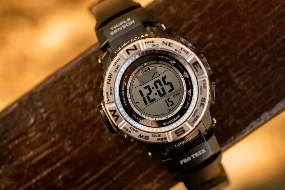
You don't need much, but you do need it accessible: map, compass, map case, pencil, watch, headtorch, spare layer, food and water. A GPS or phone app is a useful backup, not a replacement. Batteries die, screens crack, and cold hands struggle with touchscreens. The map and compass never need charging.
Good navigation is mostly a set of small habits repeated until they're automatic. Fold the map before you need it. Thumb your position. Check the compass before you leave the path, not after. Name the features you expect. Set a turn-around time. Share the job.
None of these take long. Together they turn a day that could have gone wrong into a day that simply went well — even when the cloud drops and the path forks.
Photo: geralt / Pixabay